Upload or draw your route
Import the GPX you recorded with your GPS, watch or app, or draw the route point by point on the map.
Upload your trip's GPX or draw the route on the map. Pick a style, add stages, dates, icons and your logo, and download a map ready for your website, social media or print.
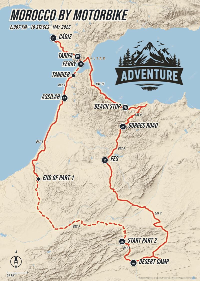
No design software, no hours of tweaking: you bring the route, we bring the design.
Import the GPX you recorded with your GPS, watch or app, or draw the route point by point on the map.
Pick a style, mark the stages with names and dates, add icons and your logo, and place every label where you want it.
Export a high-resolution JPG, with no watermark, ready for your website, social media or print.
Import the GPX from your GPS, watch or app (Wikiloc, Komoot, Strava) or draw the route on the map, searching for the starting point. Stops are suggested for you from the breaks in the trip.
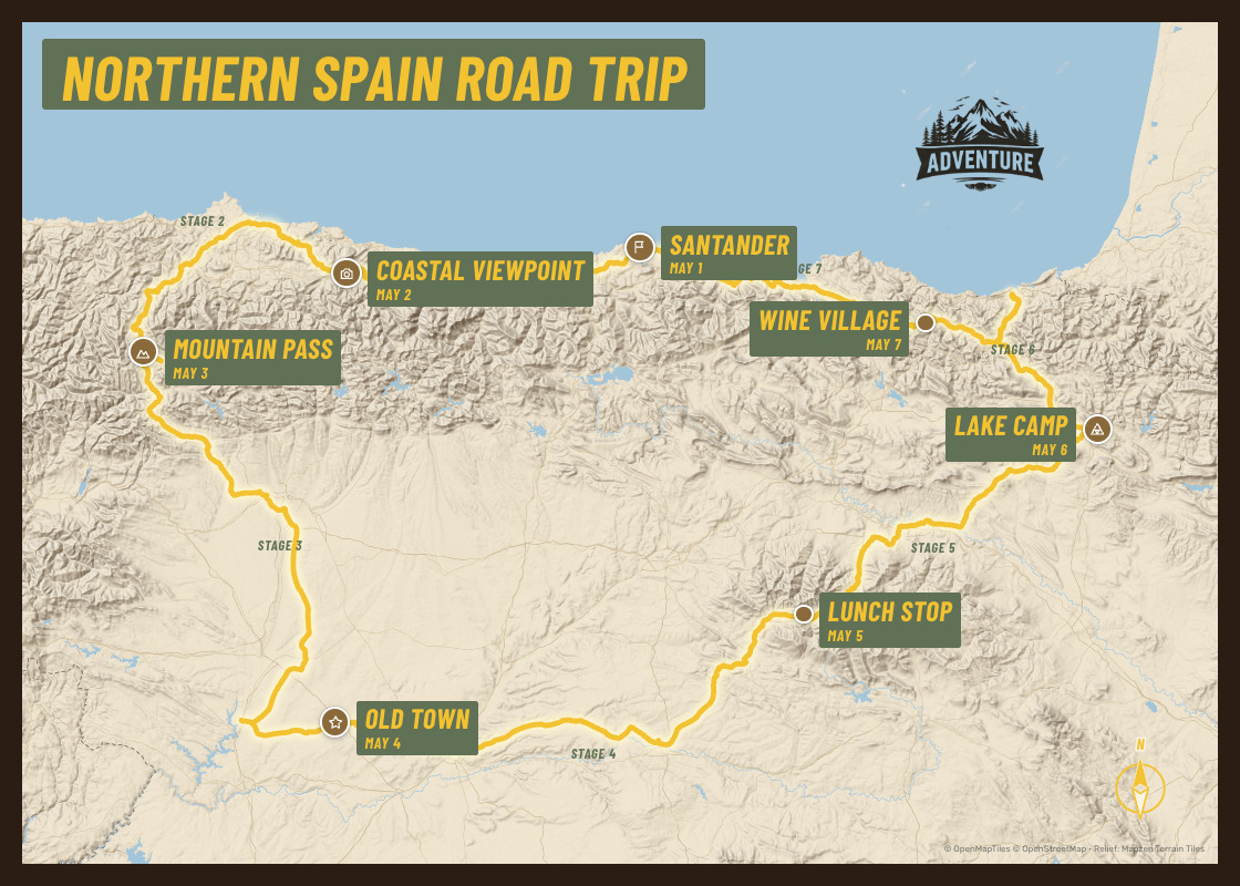
Colours of the line, markers and texts, 28 typefaces, a title with its own font, texts on a coloured box, with an outline or a shadow, and a poster frame.
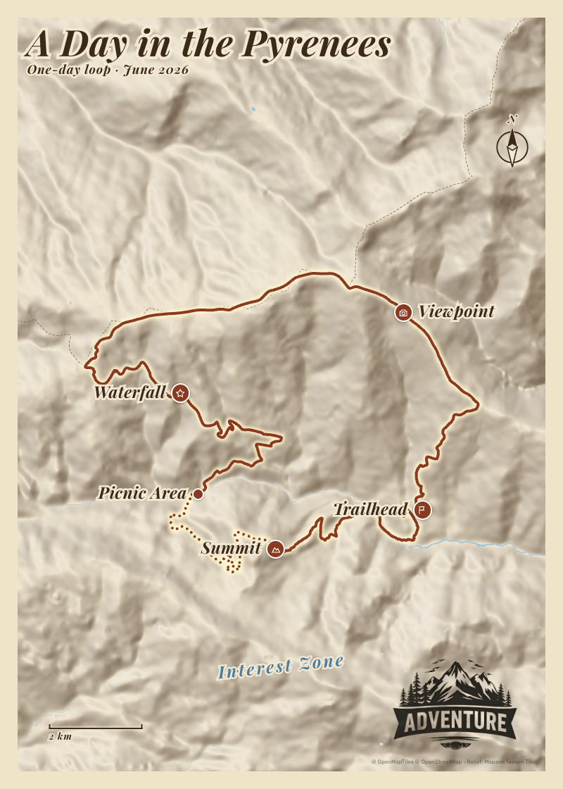
Upload your logo once and use it on all your maps. Add free texts such as “Mediterranean Sea”, a compass rose and a scale that really measures.
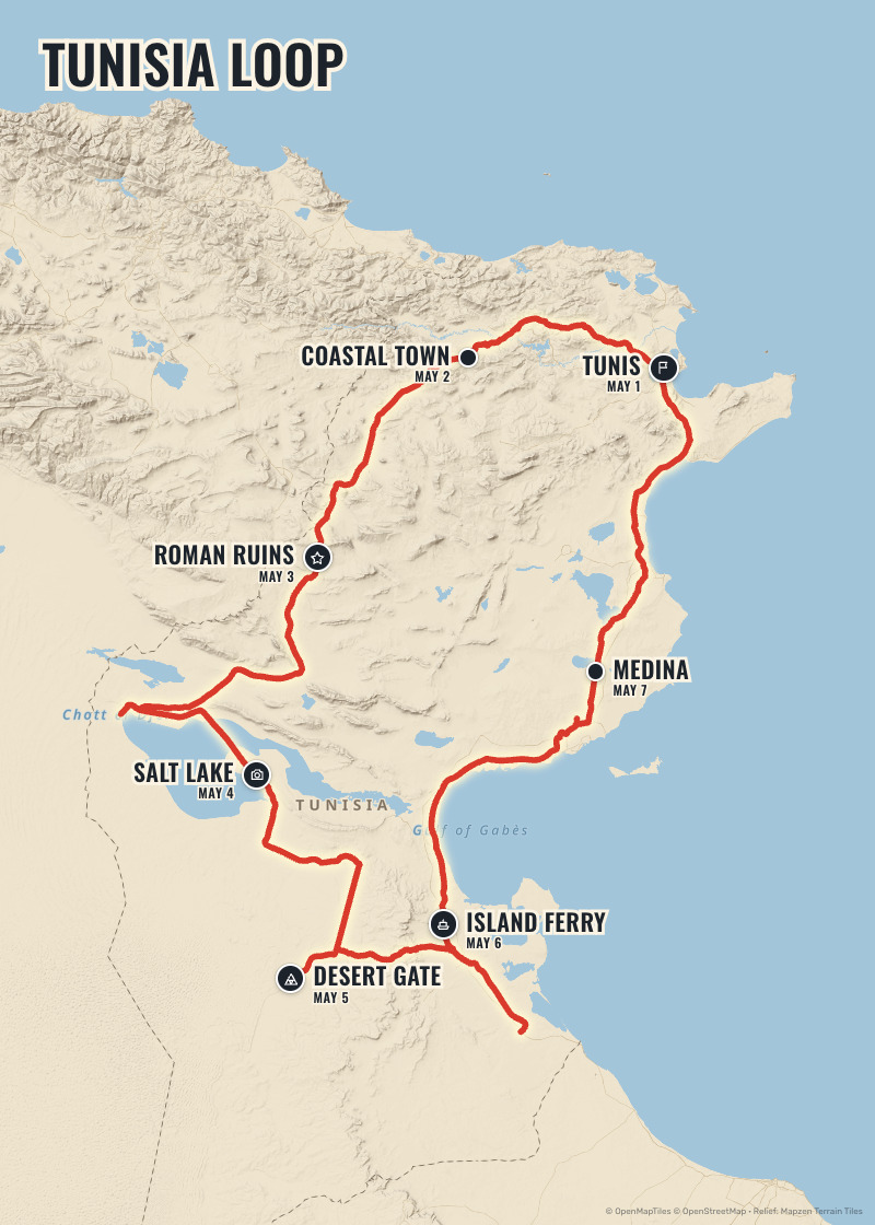
Adjust the framing on a live map, turn it so north isn't up, and choose the format: portrait, landscape, square or a social media story.
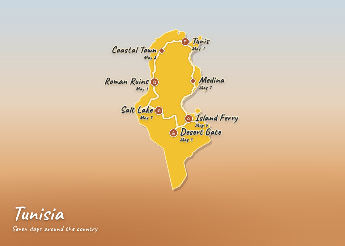
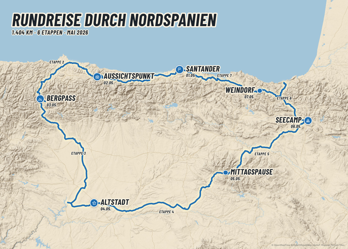
Shaded relief with OpenStreetMap cartography, or the country's silhouette for a more graphic poster. Place names, dates and stages come out in the language you choose.
Watermark-free 3000×4200 px JPG in portrait, in every format of the map.
An unlocked map can be edited and downloaded as often as you like.
Copy a map to try another version without touching the original.
Find the starting point and draw the route, with a reference GPX if you have one.
Only you see your maps and tracks until you decide to publish them.
After that, €4.00 per map or less with packs. No subscriptions.
A keepsake of your big trip, ready to frame or share.
The course by stages and dates to present your next edition.
Motorbike, 4x4, cycling or hiking trips explained at a glance.
A map of every itinerary for your website, brochure and social media, with your brand.
Creating your account, importing routes and designing are free, and your first map is on us. After that you only pay for the maps you want to download in high resolution.
€4.00 per map, VAT included
No. Creating your account and designing are free, and so is your first map. After that you only pay for the maps you want to download: €4.00 per map, or less with packs (5 maps for €15.00, 12 for €30.00). No fees, no commitment.
Only the preview in the editor. Once you unlock a map you download it clean, without a watermark and in high resolution.
Portrait (3000×4200 px), landscape (4200×3000 px), square (3600×3600 px) or a story for social media (2700×4800 px), all included in the same map. They work on screen and in print up to A4 or A3: posters, catalogues or a framed print.
Yes. Each stop has its own name, date and icon, and each stretch can be named (Stage 1, Stage 2…) and drawn solid, dashed (a ferry) or dotted (on foot). Drag names and markers wherever you like.
Yes: colours of the line, markers and texts, 28 typefaces, texts on a coloured box, a frame and free texts. You can upload your logo and reuse it on all your maps, and save your style as a preset to apply it in one click.
Yes. You can use them on your website, social media, catalogues, posters and presentations, including to promote your trips or events, keeping the OpenStreetMap credit shown on the map. What is not allowed is reselling the map as a product. For agencies there is a pack of 25 maps for €50.00.
Create your account and design your first map in minutes.
Create my first map